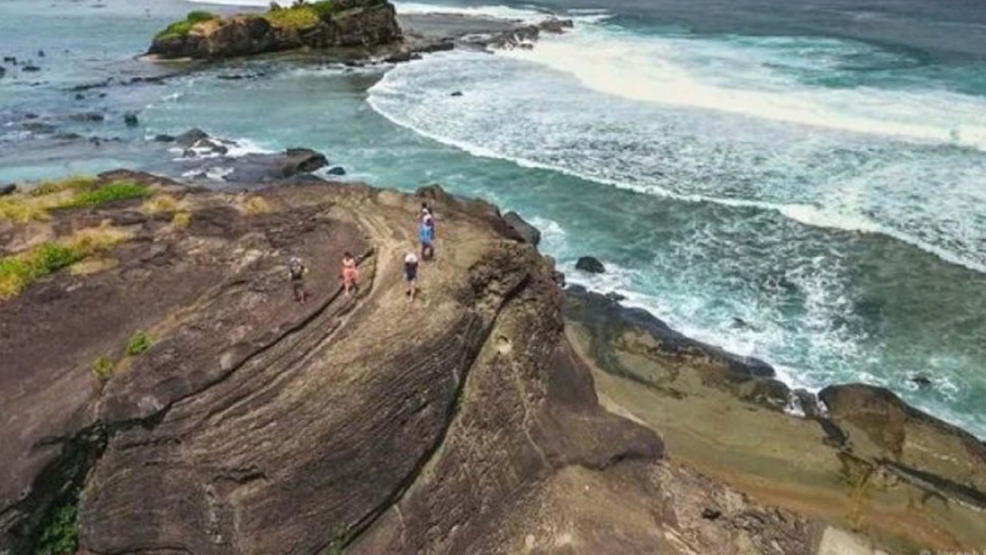
The Northern Samar provincial board passed a resolution formally endorsing the application of the province to declare the Biri Rock Formation as a United Nations Educational, Scientific and Cultural Organization (UNESCO) Global Geopark.
The provincial government said in a statement Tuesday that the provincial board approved on June 24 the resolution of Board Member Albert Lucero, chair of the committee on tourism, culture, and arts, highlighting the international significance of the geological heritage of Northern Samar.
“To date, the seven rock formations on the island municipality of Biri have international geological significance based on the 2010 geological survey done by the University of the Philippine National Institute of Geological Sciences,” the provincial government stated.
Makadlaw rock formation was said to be part of the Early Miocene (about 15-20 million years old). Located in the famous San Bernardino Strait, known in ancient times as “Tagbaluran,” the Biri rock formations belonged to the “Biri Volcanic Complex.”
The most picturesque formations are Magasang, Magsapad, and Bel-at, which appeared to act as a blockade shielding the island from the powerful waves of the Philippine Sea and San Bernardino Strait, according to the provincial government.
The resolution came one month after the visit of UNESCO National Commission of the Philippines Secretary-General Ivan Anthony Henares to Biri Rock Formations on May 24.
Once declared, Biri Island will be the second UNESCO Global Geopark in the country after Bohol Island.
UNESCO Global Geoparks are “single, unified geographical areas where sites and landscapes of international geological significance are managed with a holistic concept of protection, education, and sustainable development.” (PNA)


